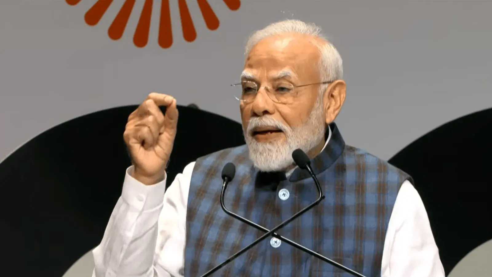
The Government of India has set a goal to achieve full coverage of the SVAMITVA Scheme by March 31, 2027. During a national review meeting held in New Delhi on November 20, 2026, Union Minister for Panchayati Raj Rajiv Ranjan Singh, also known as Lalan Singh, called on states to develop clear, time-bound action plans to meet this target.
Understanding the SVAMITVA Scheme
SVAMITVA stands for Survey of Villages Abadi and Mapping with Improvised Technology in Village Area. It is a central-sector initiative launched to provide rural property owners with official property cards. These cards serve as legal proof of ownership, helping reduce property disputes and enabling villagers to leverage their land for economic benefits. The scheme uses drone technology to map inhabited village areas and create detailed Geographic Information System (GIS) maps, which also assist in better village-level planning and development.
The initial phase of SVAMITVA began in 2020–21, covering selected villages in states including Maharashtra, Karnataka, Haryana, Uttar Pradesh, Uttarakhand, Madhya Pradesh, Punjab, and Rajasthan. Since then, the program has expanded significantly, aiming to cover all eligible villages across India.
Progress and Key Facts as of November 2026
- Drone surveys have been completed in 328,000 out of 333,000 targeted villages, achieving 98% coverage.
- Approximately 34.7 million property cards have been issued across 220,000 villages.
- Full saturation has been reached in Haryana, Uttarakhand, Puducherry, Goa, Tripura, Dadra and Nagar Haveli and Daman and Diu, Lakshadweep, Odisha, Delhi, and the Andaman and Nicobar Islands.
- In Rajasthan alone, over 1.9 million rural families have received property cards, with drone surveys covering 99.4% of notified villages.
- These property cards have facilitated around 16,614 loans totaling roughly ₹1,769 crore by allowing rural households to use their property as collateral.
Why SVAMITVA Matters for Rural Communities
The SVAMITVA Scheme is a transformative step for rural India. By providing legal recognition of property ownership, it empowers villagers, especially women, by strengthening their economic security and giving them formal rights over land. This recognition helps reduce conflicts related to property disputes, which are common in rural areas and can hinder development.
Moreover, the GIS maps created through the scheme enable more efficient and transparent village-level planning. Local governments can better manage resources, infrastructure projects, and land use, leading to improved living conditions. The ability to use property as collateral also opens up new financial opportunities for rural residents, encouraging entrepreneurship and investment in agriculture and other sectors.
Frequently Asked Questions
Q: What is the main goal of the SVAMITVA Scheme?
A: The scheme aims to provide rural property owners with official property cards to establish legal ownership, reduce disputes, and support economic development.
Q: How does the SVAMITVA Scheme use technology?
A: It employs drone surveys and GIS mapping to accurately map village inhabited areas and create detailed property records.
Q: Which states have achieved full saturation under the scheme?
A: As of November 2026, Haryana, Uttarakhand, Puducherry, Goa, Tripura, Dadra and Nagar Haveli and Daman and Diu, Lakshadweep, Odisha, Delhi, and the Andaman and Nicobar Islands have completed full coverage.